Every year on the third Wednesday of November, in the heart of Geography Awareness Week, the world celebrates GIS Day. GIS Day is a global educational event that encourages geographic information system (GIS) users to participate in events and programs that showcase real-world applications of geospatial science and technology. According to Esri, the official guardian of GIS Day, there were over 1,300 GIS Day events across the globe on Wednesday, November 18, 2015. Of course, there’s a map for that!
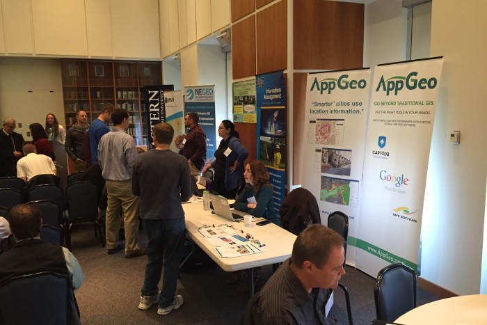
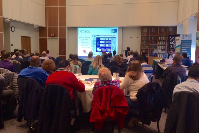
Connecticut celebrated GIS Day at Eastern Connecticut State University. The event was coordinated by the Connecticut GIS User to User Network and hosted by Eastern’s Department of Environmental Earth Science in the School of Liberal Arts & Sciences. Over 75 GIS professionals, vendors and students attended the day’s events which included both oral and poster presentations, discussion sessions and networking. The New England chapter of the Urban and Regional Information Systems Association (NEURISA) even sponsored a GIS Day “Mappy Hour” following the main event at the Willimantic Brewing Company, a well known local watering hole.
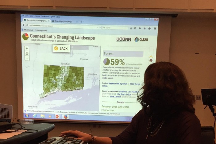
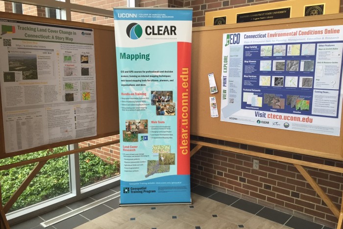
Of course, GIS Day is a can’t miss event for CLEAR’s geospatial educators, Emily Wilson and Cary Chadwick. Both were on hand to deliver presentations and poster displays. Emily’s poster submission on her Connecticut’s Changing Landscape Story Map even won an award. Congratulations, Emily and Happy GIS Day to all the map enthusiasts out there. See you next year!
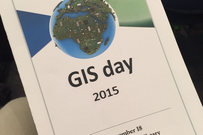 CT GIS Day was celebrated on Wednesday, November 18, 2015 at Eastern Connecticut State University.
Visit the Connecticut GIS User to User Network’s GIS Day event page to view the full line up of speakers and poster on display.