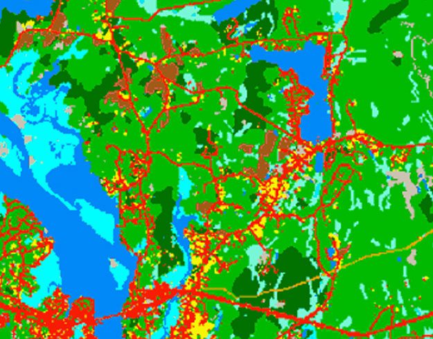
CLEAR research primarily focuses on the use of remote sensing and related geospatial technologies to characterize, map and analyze Connecticut's changing landscape. This information is then incorporated into one or more of the Center's education programs. Of particular interest to us is the growth of developed land and its impacts on natural resources like water, forest and agriculture. Some CLEAR programs also conduct applied research on topics related to stormwater management, and recently climate change adaptation. See our Water and Land and Climate pages for more information on these projects.
The Projects and Research Archive contains past projects that are still useful.
Source Water Protection Project
The project analyzed parcels (properties) within drinking water watersheds and aquifer protection areas based on a variety of metrics. Explore the results in a map viewer and data dashboard.
Watershed Assessment Tool
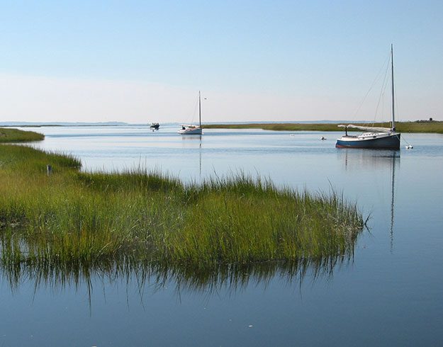
A story map, dashboard, and interactive tool to explore the relationship between land cover and water quality at a fine scale.
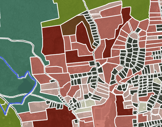
Changing Landscape
This ongoing Land Cover Change Study tracks changes in the state's landscape over time, with an emphasis on increases in developed land. The study has become a major resource for researchers, agency staff, communities, the public and the press.
Forest Fragmentation
Based on the Connecticut's Changing Landscape (CCL) project, CLEAR researchers developed a model to analyze the forest classes of the land cover and separate them into categories of forest fragmentation - patch, edge, perforated, and core (small, medium, large). The study also looked at change. Forest Fragmentation
Impervious Surfaces
Impervious surfaces are the many elements of the “built landscape” like roads, driveways, roofs, and parking lots that disrupt the natural water cycle, greatly increasing surface runoff. The impervious cover maps show the results of using the land cover with the Impervious Surface Analysis Tool (ISAT) to estimate impervious cover levels in for watersheds across the state. Impervious Surfaces
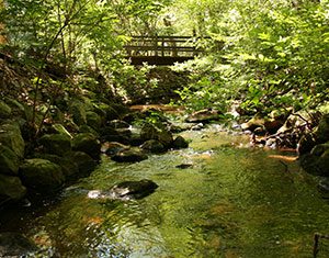
Riparian Area Land Cover
The term riparian refers to the land immediately adjacent to water bodies such as streams, ponds and lakes. These areas are known to provide a number of environmental amenities, including wildlife habitat, temperature moderation, and processing of pollutants. The Riparian Area maps show the land cover within the riparian zone (300 feet from streams and waterbodies), including change. Riparian Area Land Cover
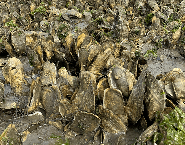
Aquaculture Mapping Atlas
Information for shellfish managers and fisherman. A partnership with Connecticut Sea Grant.

N-Sink
A simple tool for local land use managers to explore the relationship between land use and nitrogen pollution in their waters.
Water Synthesis Projects Project
The following pages contain geospatial and temporal data to show geographic and regional trends in the number of projects as well as financial support for water related topics over time.
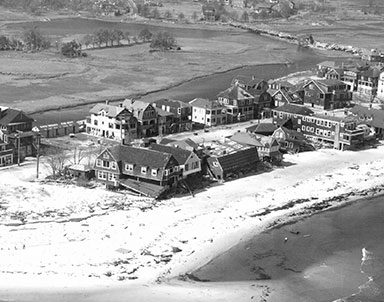
Connecticut’s Coast: Then and Now
Comparing carefully aligned, scanned 1934 aerial photos with current aerial images reveals where the Connecticut shoreline has changed over time by both natural forces and human activity.
GIS Coordination for Connecticut
CLEAR collaborates with the CT GIS Office to bring high quality, statewide geographic data and information to Connecticut.