![]()
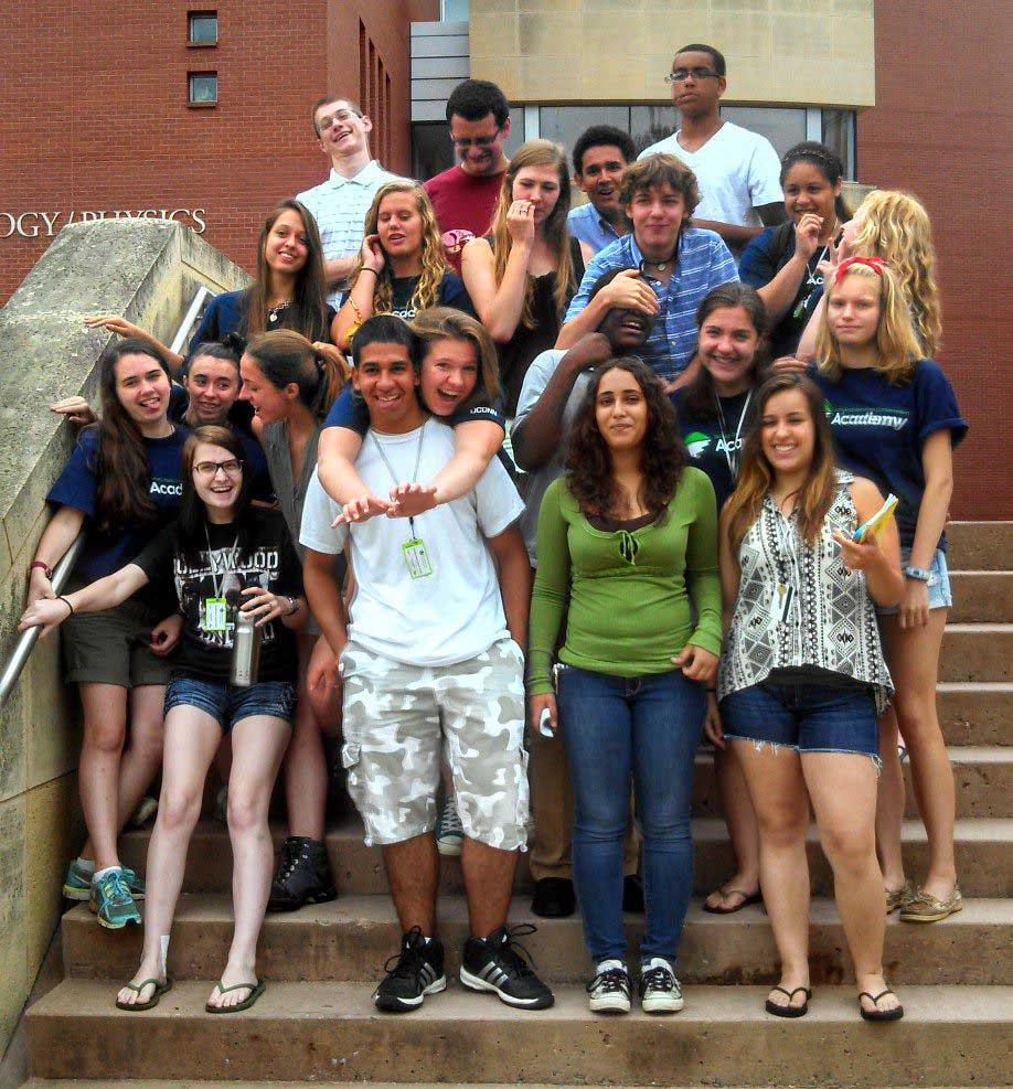
The Natural Resource Conservation Academy (NRCA) is an innovative program in conservation and land use planning for a select group of Connecticut high school students. The Academy starts with a week-long field course at the University of Connecticut in Storrs. Throughout the week, students interact with UConn faculty and learn about mapping and geospatial information, water, forestry, wildlife, soils and more. However, to pass muster at the Academy the work/fun doesn’t end there! In the months to come, students complete a natural resource project in their communities, using the skills and knowledge that they gained over the summer.
Quite a few CLEAR faculty participate in the summer field course. Because of its obvious superiority to all the other disciplines, Day One of the Academy is dedicated to mapping and geospatial information. Thus, Cary and I had the opportunity to work with this bright group of students and expose them to all sorts of fun mapping topics.

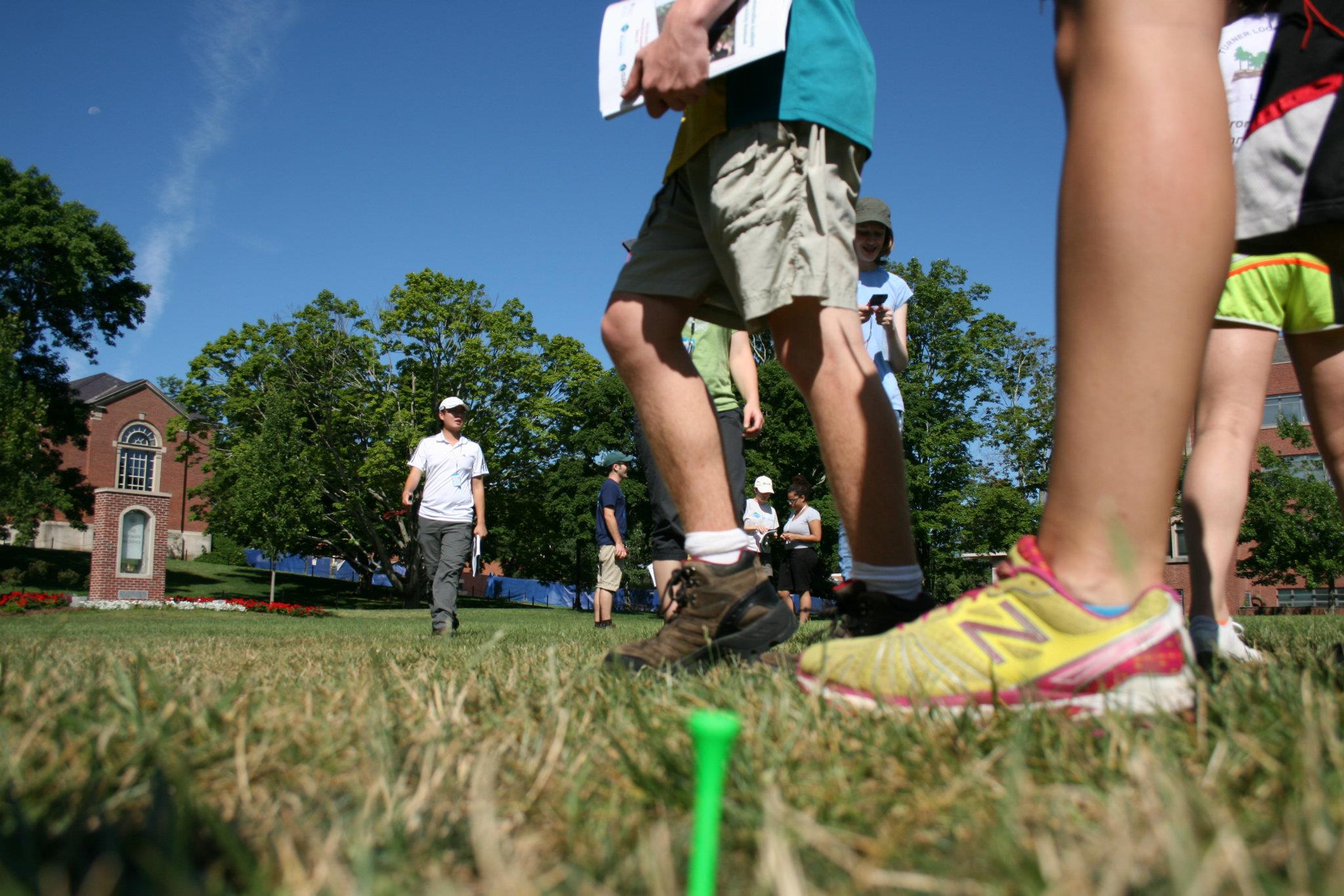
First, the students started with the basics – how to read a paper topographic map including contour lines. They oriented the map with a compass, found their location and even drew a viewshed. Next, the students learned how to use a compass and pacing to (try) to walk an equilateral triangle that started and ended at the same point, marked by a personalized golf tee. Some kids were mighty close – others, not so much.
Then to the computer lab to learn about geospatial science and to make some maps. With minimal instruction, they were throwing together maps using ArcGIS Online in no time.

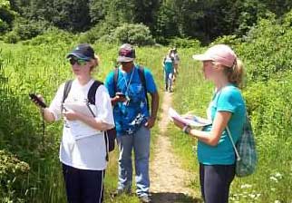
After lunch – field data collection with a GPS. Students collected a track along with points and pictures along the way. Not even swarming mosquitoes slowed them down. Then back to the computer lab to download the data and add it to their maps.
After dinner, time for (even more) fun. Pairs of GPSers were set free to find ten geocaches scattered across UConn. In little more than an hour, some teams covered almost four miles and found most of the geocaches during the intense competition.
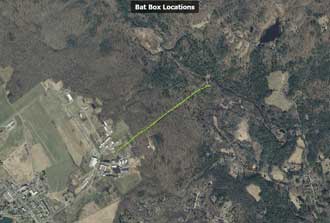
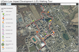
Fast forward to Friday when each group – Batattack, Storm Troopers, Hydro Heroes, and LIDS – had a different project that each used what they learned on map day in a different way. Batattack created a mapping presentation where they described why each bat box location was picked including sunlight, proximity to water and proximity to the current location of the gigantic poles (they had to be carried!). Storm Troopers took a suite of measurements on trees in a forest plot (including GPS of course) and then decided which ones should be removed or trimmed with the goal of securing a near-by powerline. Hydro Heroes built a rain garden from the surface down including all the digging and planting. The LIDS (Location Information and Direction Supernovas) team visited a number of low impact development sites across UConn including rain gardens, green roofs and pervious pavers. They made some videos, a pamphlet and an informative interactive web application.
As noted, after the students rest up from the jam-packed week at the NRC Academy, they will spend time during the next few months working on a community project with a community partner. They will each have a poster at the Connecticut Conference on Natural Resources at UConn in the spring. We fully expect the projects to include a lot of awesome maps!