Introduction to ArcGIS Desktop
Archived training materials for CLEAR's Introduction to ArcGIS Desktop three-day, in person workshop.
Workshop Syllabus | Workshop Powerpoint Slides | Hands-on Exercises
Introduction to ArcGIS Online & Story Maps
Video tutorial series on the new ArcGIS Online Map Viewer
Archived training materials for CLEAR's Introduction to ArcGIS Online & Story Maps, in person workshop. Covers Esri Story Maps 1.0 (2019).
Workshop Syllabus | Workshop Powerpoints Slides | Hands-on Exercises
ArcGIS StoryMaps Tips, Tools, & Resources
Guidance on working with the newest version of Esri's ArcGIS StoryMaps.
CLEAR's Guide to StoryMaps | Visit the CLEAR StoryMap Gallery | Using the StoryMap Builder
Pro Tips: Want to know what makes a good StoryMap? Check out these 9 steps to great storytelling. It's also helpful to do some StoryMap planning before you get started. And, if you want to step up your StoryMap, you can learn how to Create a Custom StoryMap Theme for a vibe that is all your own.
Tutorials & Technology Resources
|
|
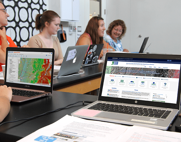
CT Environmental Conditions Online (CT ECO)
A website containing maps of Connecticut's natural resources. |
|
|
Even More Tutorials & Technology Resources
|
|
|
|
|
|
|
|
|
|
Geospatial Webinars
View the full list of upcoming and archived geospatial webinars.
Older webinars:
- Trail Mapping for CT Trail Finder with Avenza Maps, December 7, 2022
- A New GIS Tool to Assess Watershed Health in CT, November 2, 2022
- Connecticut Trail Finder, May 26, 2021
- The N-Sink Tool: Tracking Nitrogen Through Coastal Watersheds, April 21, 2021
- Why Connecticut Needs GIS Coordination, February 24, 2021
- From Maps to Apps: Accessible Tech for Field Scientists and Citizen Scientists Alike, April 6, 2020
- Statewide Lidar Elevation Points in Interactive, Color 3D, April 8, 2020
- CT 3D Lidar Viewer on CT ECO, March 4, 2020
- 30 Years of Land Cover Change in Connecticut, December 12, 2019
Related Programs
Natural Resources Conservation Academy (NRCA) at UConn
The NRCA mission is to engage diverse teen and adult participants in natural resources conservation through place-based, experiential outdoor education, and facilitate community action through collaborative partnerships that contribute to local environmental solutions, often applying geospatial technologies
NEMO (Nonpoint Education for Municipal Officials) provides information, education and assistance to local land use officials and other community groups on how they can accommodate growth while protecting their natural resources and community character.
The Connecticut Trails program combines the Connecticut Trail Census, Connecticut Trail Finder, and People Active on Trails for Health and Sustainability (PATHS). Together these efforts work alongside the CT Department of Energy and Environmental Protection to increase awareness and access to the state's 2000+ miles of multi-use greenways, parks, paths and forested areas.
Forest Stewardship Planning provides education for natural resource professionals, elected and appointed officials, volunteers and private woodland owners who care for this valued resource and landscape. Extension educators—in cooperation with many organizational partners—seek to improve the health, care, diversity, and management of Connecticut’s trees and forests.

