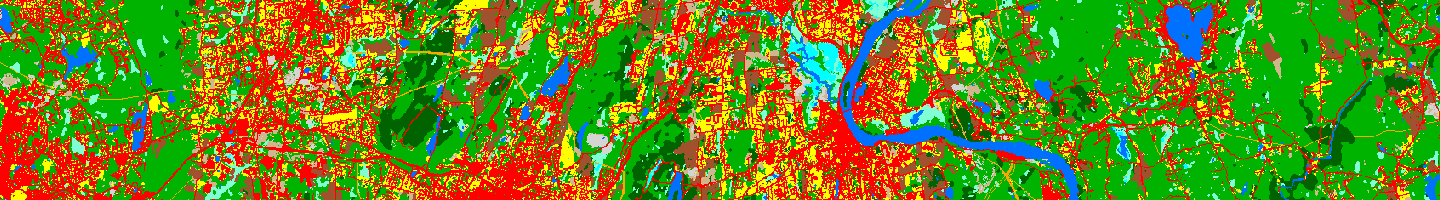
Connecticut and Long Island Sound Land Cover and Change - 1985 to 2015
Changing Landscape is a remote sensing-based land cover study that charts landscape changes in Connecticut and portions of New York. It covers the 30-year period from 1985 to 2015 (with in-between dates of 1990, 1995, 2002, 2006 and 2010). It includes information on basic land cover, as well as subsidiary analyses of riparian corridor land cover, impervious cover and forest fragmentation analysis.
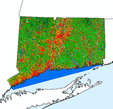
CT High Resolution Land Cover (CT ECO Website)
Although not part of the Changing Landscape series, CT's has 2016, 1 meter land cover, produced by the NOAA Office of Coastal Management
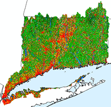
Version 2.3 land cover
Version 2.3 is the latest version of the Changing Landscape series which is a time series of satellite-derived, 12 class, 30 meter pixels land cover datasets. All previous dates received minor modifications (1985, 1990, 1995, 2002, 2006, 2010) and a new date, 2015, was added.
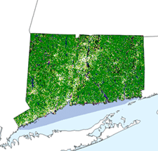
Previous versions of land cover
Previous land cover projects covered both Connecticut and the Long Island Sound watershed and included land cover, land cover change as well as riparian analysis, impervious surface analysis, forest fragmentation and land cover over agricultural soils. Previous versions and analyses are no longer available on the CLEAR website.