Providing information, education and assistance to land use decision makers, in support of balancing growth and natural resource protection.


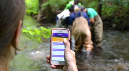
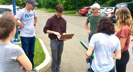
Smartphone GPS Training
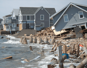
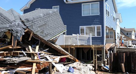
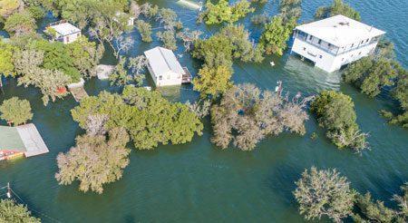
Climate Adaptation
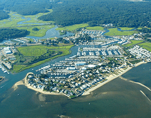
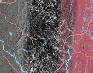
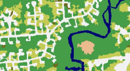
Landcover Data
-
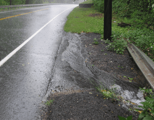
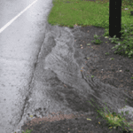
Role of Riparian Buffers in Watersheds and in Your Landscape
-
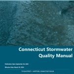
 CT Stormwater Quality Manual Webinar 3: An Update on Stormwater Management in CT Recording
 -
CT Stormwater Quality Manual Webinar 2: The LID Process Recording
-
Extension Educators Launch School-Based Green Infrastructure Initiative
-
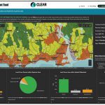
Protecting Drinking Water Sources: A GIS Tool to Rank Priority Areas in CT
Stormwater Corps
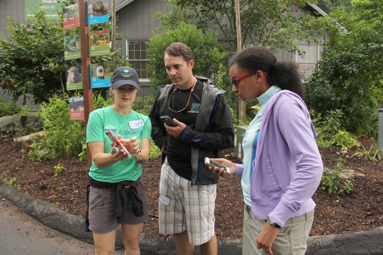
Land Use Commissioner Training
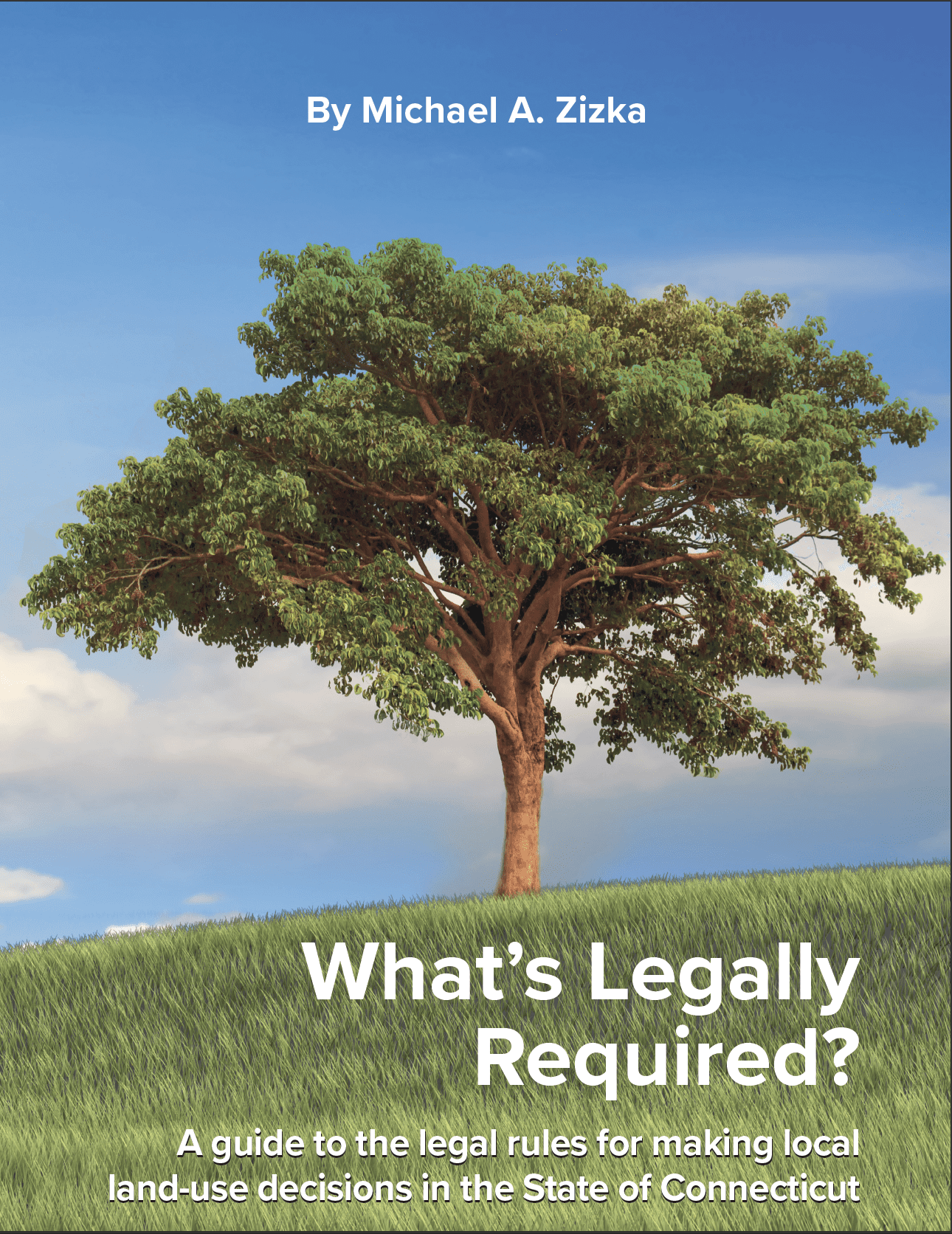 Mike Zizka has collaborated with UConn CLEAR on the printing of his latest (8th) edition of What's Legally Required?: A guide to the legal rules for making local land use decisions in the State of Connecticut. This 273 page book is the definitive reference guide for land use planners and commissioners in the State of Connecticut.
Click here for details and to purchase.