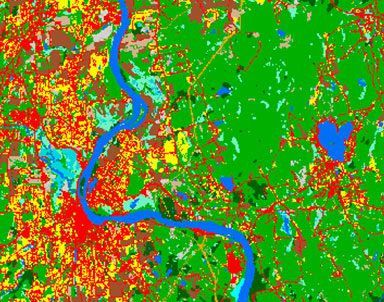
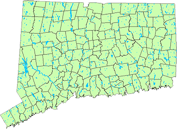
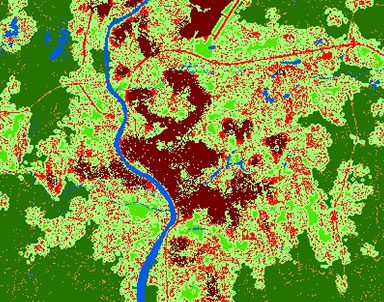
CLEAR’s geospatial expertise is focused on remote sensing analysis, development of online geospatial land use tools, and training for professionals and others in the use of various types of geospatial technology. CLEAR’s geospatial programs and tools are designed to be accessible to everyone, from a commissioner looking for a PDF map of town soils to a GIS professional looking to download data or brush up on some computer skills.
The Geospatial Training Program conducts hands-on training for municipal officials, design and engineering professionals and others on the use of geographic information systems (GIS), remote sensing (RS), global positioning systems (GPS), smartphone mapping, and interactive mapping. The Program also conducts geospatial research and develops internet mapping tools, in collaboration with other CLEAR programs and a variety of partner organizations.
Connecticut Environmental Conditions Online (CT ECO) is a website that contains mapping and geospatial information for Connecticut. CT ECO is the home of Connecticut’s statewide aerial imagery, elevation information including lidar-based elevation models and contours, and many more statewide, natural resource based layers. CT ECO’s mission is to encourage, support, and promote informed land use and development decisions in Connecticut by providing everyone convenient access to the most up-to-date geographic information available. CT ECO is a collaboration of the Connecticut Department of Energy and Environmental Protection (DEEP) and CLEAR.
LERIS is the main research program of CLEAR, and the principal place at the University of Connecticut for conducting remote sensing and GIS research focused on natural resources, landscape characterization and change, and the interaction of the two. LERIS also is the main group at the Department of Natural Resources and the Environment for undergraduate and graduate education and training on earth resources information systems.
CLEAR research focuses on the use of remote sensing and related geospatial technologies to characterize, map and analyze Connecticut's changing landscape. This page has links to the project pages of our various and sundry research efforts.
Virtually all of CLEAR’s programs are involved in the creation of internet-enabled tools, most of them involving mapping and hence, the leadership of our GTP. Here are links to our latest efforts.
Story Maps combine interactive maps with photos, videos, graphics and more. From bears to breakwaters, we’ve got something for you here.
Info for shellfish managers and fisherman. A partnership with Connecticut Sea Grant.
Map Viewers provide interactive access and tools to CT ECO geospatial data. Viewers include simple, advanced, aerial imagery, lidar and more.