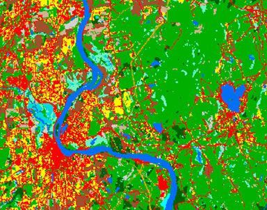
CLEAR’s geospatial expertise is focused on remote sensing analysis, development of online geospatial land use tools, and training for professionals and others in the use of various types of geospatial technology. CLEAR’s geospatial programs and tools are designed to be accessible to everyone, from a commissioner looking for a PDF map of town soils to a GIS professional looking to download data or brush up on some computer skills. In partnership with the Connecticut Department of Energy and Environmental Protection, we have developed the Connecticut Environmental Conditions Online, or CT ECO website, with a host of statewide maps and data related to natural resources.
Featured
CT ECO
Check out maps on CT ECO including map viewers, pdfs, services and more!
CLEAR Story Map Gallery
Story Maps combine interactive maps with photos, videos, graphics and more. From bears to breakwaters, we’ve got something for you here.
