At CLEAR we’ve become big fans of the “Story Map,” an application created by GIS industry leader Esri that enables the seamless combination of online interactive maps with other types of information such as photos, videos, graphs and graphics. Below are links to six Story Maps created by CLEAR or CLEAR-affiliated students. From breakwaters to bears, there’s something in this gallery for you to explore.
TAKE HEED: Story maps are complex, data-rich multimedia affairs. We recommend viewing over WiFi.
We crave your input (especially if it’s praise)! Weigh in on our Story Maps clear.uconn.edu.
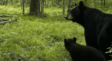
The Bears are Back: Getting to Know Connecticut's Bears
by Cary Chadwick and Mike Evans
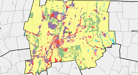

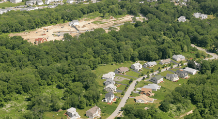
The State of Low Impact Development in Connecticut
by Dave Dickson and Manon LeFevre
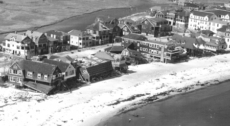
Connecticut's Coast: Then and Now
by Emily Wilson and Joel Stocker
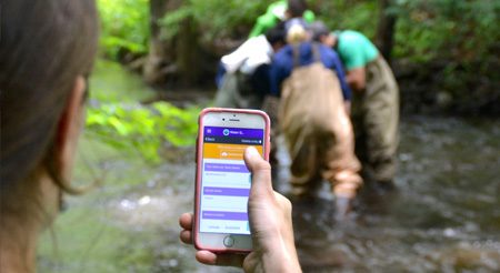
Maps & Apps for Community Conservation Projects
by Cary Chadwick & Jesse Rubenstein
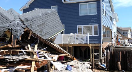
Coastal Storm Preparedness in Connecticut
by Juliana Barrett, Emily Wilson, Zachary Guarino
Modeling Site Suitability of Living Shorelines
by Jason Zylberman
For citation purposes: University of Connecticut’s Center for Land Use Education and Research. (April 25, 2022). CLEAR Story Map Gallery. https://clear.uconn.edu/storymaps/